
Finding Vallejo Residents by Street
A Vallejo street directory search should begin with one standardized address and end with a documented chain, not a guess about a household. Solano GIS can identify the parcel and APN. The Vallejo assessment system can then return the situs, assessed owner display, mailing destination, values, and map clues. The Recorder connects a name to a deed or lien, while a directory or approved voter extract may add a dated occupant layer. Each step answers a different Vallejo question.
Walk the Vallejo record trail in a fixed order. Preserve the exact street spelling, number, unit, APN, legal description, and the date of each result. If the address fails, do not keep changing it at random. Move to the map, select the parcel, and use the APN to bridge the systems.
- Address to parcel. Try the Vallejo address in Solano Property Search, then use the county GIS viewer if the search does not resolve.
- Parcel to owner clue. Record the Vallejo assessed owner, situs, mailing address, value, and exemption fields separately.
- Owner to deed. Search the current Vallejo owner as grantee in Official Records, then obtain the acquisition instrument.
- Deed to earlier party. Read the Vallejo legal description and search the grantor as an earlier grantee, checking APN and lot details each time.
- Current or past household. Use official voter access only through its legal route, and use a dated Vallejo criss-cross directory for older occupants.
Turn a Vallejo Address into an APN
The county property portal advertises four locator types: PIN, parcel number, assessment number, or address. It does not advertise open owner-name or ZIP-only browsing. For Vallejo street work, the address is the start and the APN is the durable bridge. Try a base street number and normalized suffix. If a unit blocks the result, find the parcel in GIS and repeat the search with the identifier shown on the map.
The Vallejo parcel card can show an APN or assessment identifier, situs address, owner-of-record display where not suppressed, tax mailing address, land and improvement values, exemption flags, property characteristics, and a map link. Confirm the live Vallejo result before writing any conclusion. A mailing destination can belong to a trust, agent, PO box, or other correspondence point. Neither it nor an exemption flag is a full Vallejo street directory.
The Solano Property Search is the portal pictured below.
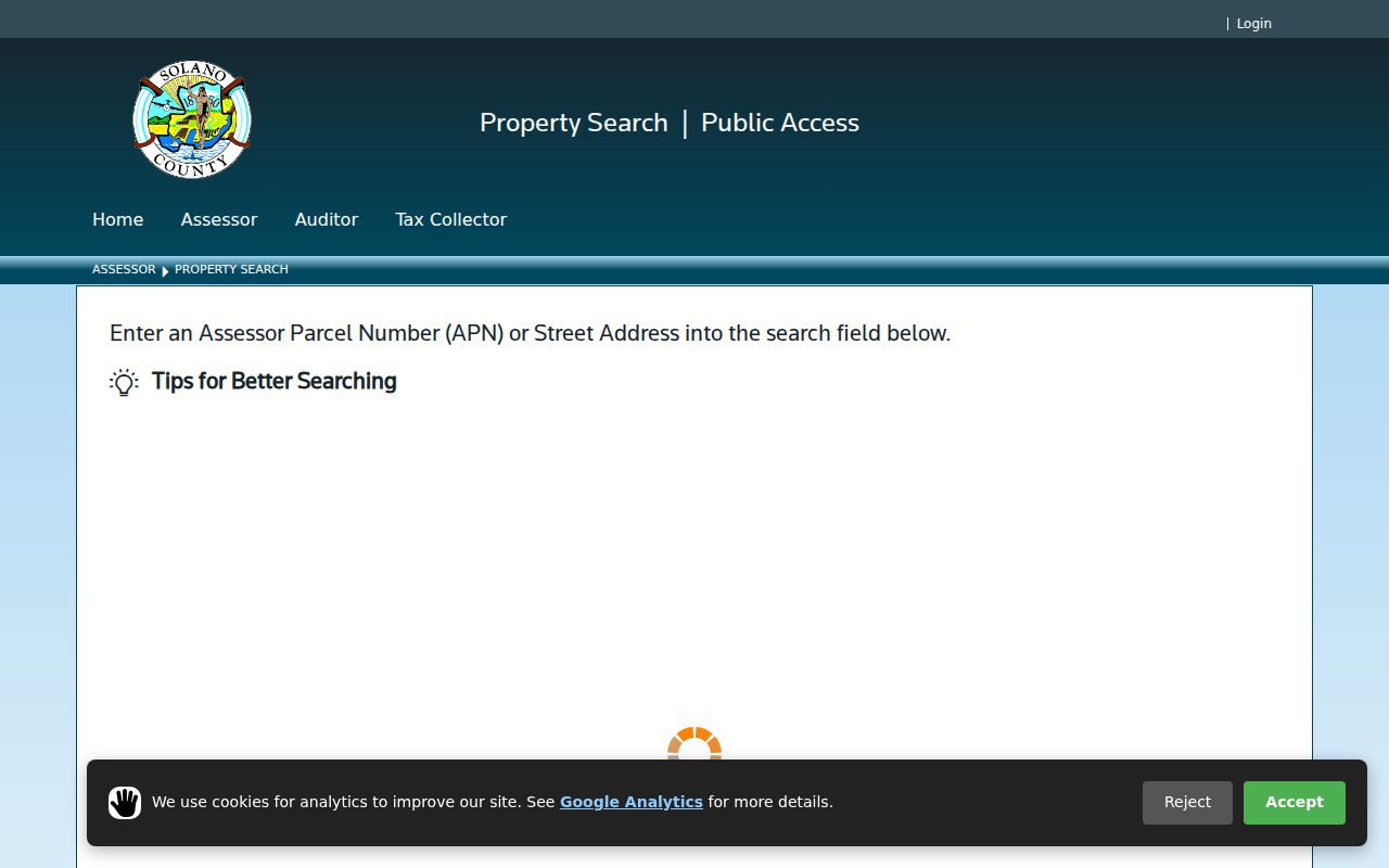
Use the APN from this type of result to connect a street address to a deed, subdivision map, or nearby parcel without assuming that the owner occupies the site.
Read a Solano Parcel Card
Reading the Vallejo property card field by field prevents a common address error. The situs is the physical taxable site. The mailing address is where assessment correspondence goes. The assessed owner is a property relationship, not proof of who sleeps at the address. Keep those terms in separate columns when building a Vallejo street-by-street log. A Vallejo parcel note should preserve the lookup date beside each field.
- Parcel
- A Vallejo county assessment unit identified by an APN or related account number.
- Situs address
- The physical Vallejo location used for assessment and many permit records.
- Mailing address
- The destination for the owner or account correspondence, which may differ from the situs.
- Plat
- A recorded map that lays out lots, blocks, streets, and dedications.
- Criss-cross directory
- A reverse directory section arranged by street and house number for a particular publication year.
The county GIS gateway can add parcel boundaries, adjacent lots, municipal lines, zoning, general-plan, flood, voting, or special-district layers when the selected viewer exposes them. Layer names vary across Vallejo viewers. Use the assessment result as the authority for the owner display and the map as geographic context.
The Solano Assessor/Recorder hub connects the property and official-record routes.
The hub is also the place to confirm current Vallejo forms, fees, counter access, and the Vallejo office route for a copy or older research volume.
Browse a Vallejo Block in GIS
Solano GIS is best used as a parcel viewer, not as a ready-made people list. Search or navigate to a known Vallejo address, zoom until parcel outlines are visible, select the target polygon, and copy its APN. Pan along the Vallejo street and repeat the selection for adjacent parcels. Include parcels across the street when the question is about a block, and note condominiums or multifamily parcels that do not equal one household.
- Open the county interactive-map gateway and choose the Vallejo parcel viewer.
- Search the Vallejo address or pan to the street, then zoom until lot lines and labels can be selected.
- Click the target Vallejo parcel and record APN, map clues, and any assessment link.
- Clear the selection before clicking each nearby polygon so the information panel refreshes.
- Repeat each Vallejo APN in Property Search and keep the owner and mailing fields separate.
A Vallejo map can show land relationships, frontage, and approximate distance. It is not a survey. If a layer does not expose names, do not imply that it does. The assessment portal supplies the owner display; GIS supplies the spatial frame for a Vallejo street directory and its Vallejo neighboring parcels.
Vallejo Street-Searchable Record Sets
Vallejo address-keyed records overlap without becoming one resident directory. The assessment card and permit file begin with the site. A deed index is name-led and may not search a modern street reliably. A voter file can support a walking list only after an approved application. A criss-cross volume offers a dated household snapshot. The table keeps those Vallejo limits visible.
| Record set | Keeper | What it shows | Access |
|---|---|---|---|
| Assessment card | Solano Assessor | Situs, assessed owner, mailing clue, APN, value, exemption | Free keyed portal or office |
| Parcel map and GIS | County GIS/Assessor | Adjacent lots, boundaries, APNs, geographic layers | Free viewer and maps |
| Deed index and instrument | Solano Recorder | Grantor, grantee, recording data, legal description | Free index; copy or counter route |
| Building permit | Vallejo Building Division | Work dates, applicant, contractor, address | eTRAKiT; older files by request |
| Criss-cross directory | Library or genealogy collection | Dated occupant or business by street number | In person or digitized volume |
| Approved voter extract | Solano Registrar | Permitted voter fields sorted by geography | Application and approved purpose |
The APN is the strongest link between a Vallejo parcel, assessment, permit, map, and deed. The Vallejo street name is the human-facing link to a directory or postal clue. A result that lacks one of those Vallejo bridges should stay labeled as a Vallejo lead.
Trace a Vallejo Deed Without an Address
Modern deeds often index parties better than they index Vallejo street addresses. The Solano Official Records Search accepts simple terms such as a party name and year. Once a parcel card supplies the owner name, search that person as grantee, identify the acquisition instrument, and request the document from the Recorder because images do not display in the public web index. Read the legal description and APN on the instrument rather than relying on a result line.
To go backward through a Vallejo chain, take the grantor from the acquisition deed and search that name as an earlier grantee. Compare the Vallejo APN, lot, block, subdivision, legal description, and recording date at every generation. Deeds of trust can support a date, but they are not the same as a conveyance. Trusts, marriages, quitclaims, probate transfers, and spelling variants can branch the trail. If the online index stops, move to the Recorder's research area, where 1954 and earlier books are the documented fallback.
A Vallejo ownership trail is only one branch. A street directory, permit, newspaper notice, or obituary may place an occupant at the site for a year. Do not merge an owner and occupant simply because both relate to the same Vallejo address.
Search Solano Records Without Punctuation
The recorder FAQ gives a practical Vallejo search tip: simple search accepts ordinary terms, punctuation is unnecessary, and a name can be tried in natural order or surname-first order. A test such as JOHN DOE 2014 narrows the index by party and year. Advanced search is available from the main screen and the results screen, where date, document number, and document type controls can refine a hit.
Search both sides of a Vallejo transaction and save the Vallejo document number, recording date, party names, and document type. The result may show a party role, book and page for older records, or an instrument number. It will not show a signature, full image, complete legal description, or every redacted identifier. An index hit tells you which instrument to request; it is not the instrument.
That distinction matters for a Vallejo street directory because a Vallejo address may appear only in the legal description or not at all. A Vallejo index hit still needs the instrument and parcel match. The Solano recorded-document search help explains the simple and advanced modes.
Vallejo Permit History by Address
Vallejo eTRAKiT adds a municipal work history to the Vallejo property trail. A standardized Vallejo address can lead to a permit number, type, status, application date, issue date, final date, valuation, contractor, applicant, and inspection milestones where the live portal exposes them. An applicant or owner name shows a relationship to the work. It does not prove that the person lived at the address.
The online permit FAQ is the first route for current Vallejo records. Older permit jackets or code-enforcement material may require a focused request to Planning and Development Services under the California Public Records Act. State the address, date range, permit or code subject, and known record type. Keep a permit applicant separate from the assessed owner, deed party, and directory occupant.
Vallejo permits can explain why a street record changes. A remodel, parcel split, subdivision, or new unit may create a new APN or a new address format. Pair the permit with a Vallejo map and legal description before treating it as a continuous Vallejo address history.
Criss-Cross Vallejo Streets in Print
A printed Vallejo city directory adds the occupant angle that deeds do not. The local collection is reported to span 1870-1991, and later volumes can reverse the search into street name, ascending house number, occupant or business, telephone clue, and sometimes an owner or renter symbol. Photograph the abbreviation key for that volume first. A mark that means one thing in a Polk-era book may not carry the same meaning in another year.
Use the Vallejo street section to test a move, distinguish a spelling failure from a real disappearance, and see nearby entries in the same publication year. Pair the result with the alphabetical name section and note the exact page. The Vallejo city directory collection explains the historical shelf and the year-by-year method. Here, the criss-cross section supplies only the Vallejo address trail for that Vallejo year.
Vallejo directory entries are snapshots. They can omit a Vallejo household, show a business rather than a home, or lag a move. A later obituary, census schedule, deed, or permit can confirm what happened next.
Bridge Vallejo Address Changes
No verified official chronology of Vallejo street renumbering was located in the research. That gap is a reason to bridge Vallejo records, not a reason to assume that a failed Vallejo address search means the parcel disappeared. Preserve the APN, lot and block, subdivision, cross streets, map footprint, and every historical legal description. Sanborn sheets for 1886, 1889, 1901, 1919, and a corrected 1919-1950 volume can show a building footprint, use, and street number at the map date.
ZIP, city, and custodian boundaries can also change around an old Vallejo street. Downtown, St. Vincent's Hill, Vallejo Heights, and Heritage District properties may reward deed books, directories, and Sanborn sheets. Mare Island has a distinct 94592 identity and a federal record layer. Former Vallejo edges and annexation questions can send an older permit to a county rather than city office. A Vallejo street directory is strongest when it states the bridge used.
- Legal description
- The lot, block, tract, or metes-and-bounds identity in a deed.
- APN
- The assessor indexing key, which can change after a split or merge.
- Address bridge
- Matching APN, map, subdivision, cross streets, and footprint across years.
What the Vallejo Street Directory Misses
A Vallejo street directory cannot show every renter, child, roommate, visitor, utility customer, delivery account, or protected person. DMV information is restricted by the federal Driver's Privacy Protection Act. Voter address and identifier fields are confidential except for controlled statutory releases. Private association membership is not a public block roster. Commercial compilations can also be stale, merge same-name people, or confuse an owner with an occupant.
For Vallejo personal research, stop when the public record stops. Use the official Vallejo custodian for a correction, the Vallejo library for a dated directory, and law enforcement for an immediate safety issue. A name found beside a Vallejo parcel is not permission to confront or monitor anyone.
Lawful use. Vallejo street and address records support personal, lawful research, family history, and civic curiosity. Using them to stalk, harass, intimidate, or harm anyone can violate California law, including Penal Code section 646.9 and civil-harassment rules.
The California Attorney General identity-theft guidance is a useful safety companion when a street record is connected to suspected fraud.
Identity-theft guidance belongs beside a records search because an address clue can be evidence of a problem, not an invitation to expose another person.
Vallejo ZIP and City Custody
Postal geography is another check on a Vallejo street result. Vallejo commonly uses 94589, 94590, 94591, and 94592, but a ZIP is a delivery route rather than a city boundary. Verify the full Vallejo address through USPS, then compare the point with Solano GIS and the municipal boundary layer. A mailing city of Vallejo does not alone establish incorporation, and an old parcel may have moved between Vallejo and county custodians.
For the Vallejo street-level question, use the ZIP only as a filter and the parcel, legal description, and dated source as the proof. That keeps a postal clue from replacing the Vallejo address chain. It also matters for Mare Island, where 94592 connects a Vallejo location to naval, federal, museum, and adaptive-reuse records for Vallejo's island district.